Marine litter monitoring through satellite technologies
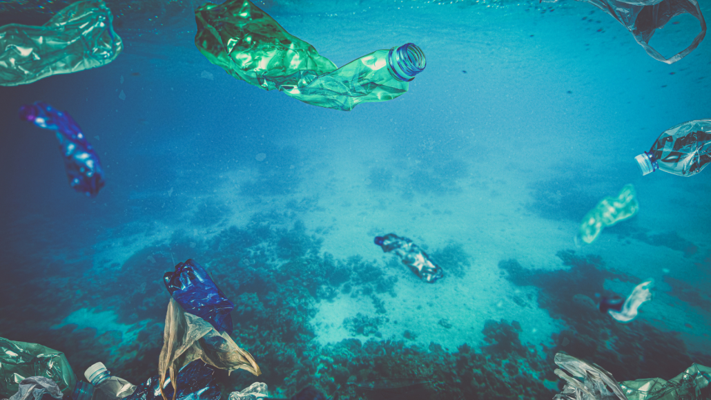
Marine litter has grown into a global environmental crisis, with plastic pollution taking center stage. Recognised as a top priority on international sustainability agendas, the fight against marine litter is advancing with innovative solutions. The European Commission Joint Research Centre (JRC) recently highlighted a significant breakthrough: the use of satellites to surveil marine litter from space. This technological advancement promises to improve our mechanisms to combat plastic pollution and aligns seamlessly with the goals of EMERITUS, targeting waste-related environmental crimes.
Advancing marine litter monitoring
A work published in Nature Communications in which a group of international researchers including the JRC, showcases how researchers utilised Copernicus satellites to obtain an unprecedented view of marine litter emissions and accumulation. By analysing over 300,000 remote sensing images of the Mediterranean Sea, the researchers identified thousands of floating litter patches, known as windrows. This analysis enabled them to pinpoint the most polluted areas and understand seasonal variability patterns and land-based emissions.
The Sentinel-2 satellites, which are part of the EU’s Copernicus Programme, played an important role in this achievement. With a spatial resolution of 10 meters and the ability to scan the entire Mediterranean Sea every three days, these satellites provided the necessary data to detect litter windrows, ranging from a few hundred meters to 20 kilometres in length. This extensive data collection, combined with supercomputers and advanced algorithms, made it possible to map marine litter with unparalleled detail.
Implications for environmental crime detection
The insights gained from satellite-based monitoring are quite valuable for projects like EMERITUS, which aims to enhance the detection and prosecution of environmental crimes. EMERITUS leverages advanced monitoring and analysis technologies to improve the capabilities of Law Enforcement Authorities (LEAs) and Border Guards (BGs) in detecting waste-related crimes. The integration of satellite data, particularly from the Sentinel-2 satellites, can significantly bolster these efforts.
One of the primary goals of the project is to detect illegal waste sites and provide better intelligence on environmental risks through the development of a single-entry point platform merging several technologies. By integrating satellite images leveraging Copernicus systems and open data, drone imageries, water sensors and AI algorithms, EMERITUS will optimise resource allocation and will act as a deterrent to potential offenders. Moreover, the project implements a protocol for effective environmental crime investigation and a training programme fostering environmental enforcement authorities’ intelligence and investigation capabilities at national and cross-border levels.
The broader impact of satellite monitoring
Beyond identifying marine litter, the capabilities of satellites extend to other critical environmental monitoring tasks. Satellites designed specifically for ocean plastics could drastically improve detection accuracy, enabling researchers to identify floating objects as small as one meter. This advancement would be an important milestone in the fight against plastic pollution, facilitating targeted clean-up operations and mitigating broader environmental impacts.
Additionally, satellite monitoring can aid in addressing issues such as oil spills, cargo losses, and search and rescue operations. The data provided by the Copernicus Programme supports a wide range of services, including land management, disaster control, and risk mapping. For public authorities, the ability to monitor marine litter levels and distributions efficiently and cost-effectively is crucial for effective environmental management.
EU policies and the role of Copernicus
The European Union has implemented several policies to address plastic pollution, from the Single-Use Plastic Directive to the Marine Strategy Framework Directive and the EU Green Deal. The Copernicus Programme, managed by the European Commission, plays a vital role in supporting these initiatives. By offering free and openly accessible information services, Copernicus helps public authorities and international organisations enhance the quality of life for European citizens and beyond.
For EMERITUS, the Copernicus Security Services and the Copernicus Emergency Management Service (CEMS) are particularly relevant. These services provide essential data to develop rapid maps of, for instance, risk and recovery and strategic information mapping. The European Forest Fire Information System component of CEMS also contributes with valuable data for integration and validation.
The JRC’s article on surveilling marine litter from space underscores the transformative potential of satellite technology in environmental monitoring. The collaboration between satellite technology and environmental crime detection represents a significant step forward in addressing marine litter and broader environmental challenges. As EMERITUS continues to explore and demonstrate the potential of these technologies, the synergy between satellite monitoring and ground-based efforts will be crucial.
Read more about this topic in the Nature Communications article.